Introduction
Display FIRs and UIRs
In this topic, you learn how to view flight information regions on the map.
We estimate that this will take 3 minutes to complete.
Display Flight Region Information on the Map
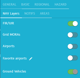
You can enable the display of Flight Information Regions (FIR) and Upper Information Regions (UIR) on the map from within NAV Layers.
For information on the other navigational elements in the NAV Layers pane, consult other topics, such as Display Airport Information on the Map or Display Ground Vehicles on the Airport Surface Map (for Surface Tracking Users Only).
Detailed Explanation
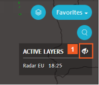
Let's get oriented: The map is focused on Western Europe, at a 100 nm zoom level and the ACTIVE LAYERS pane shows that the Radar (for Europe) weather layer is active.
Hide the Weather Layers list (ACTIVE LAYERS) as you do not need this information while you learn to use the navigational layers. The Weather Layers remain active. Hiding the list does not affect that.
![]() Click the Hide button.
Click the Hide button.
Access the NAV layers in the Layers menu.
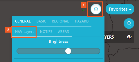
![]() Click the Layers menu button.
Click the Layers menu button.
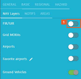
![]() Click the NAV Layers tab.
Click the NAV Layers tab.
Notice that several of the layers in the lower half of the pane are not accessible at this zoom level. You can tell this because the slider is grayed out.
To control the zoom levels at which you want the different NAV layers to be usable, adjust the zoom level settings in the User Settings menu (Zoom levels).
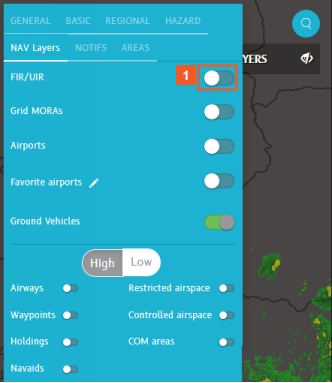
![]() Click the FIR/UIR slider.
Click the FIR/UIR slider.
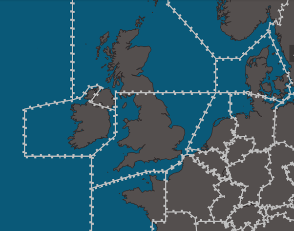
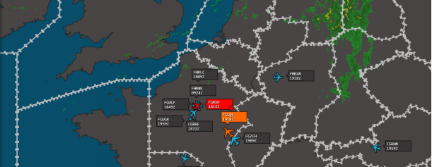
The areas bounded on the map with chunky white lines represent FIRs (Flight Information Regions). They are specified regions of airspace in which a flight information service is provided.
Some countries split their FIR/UIRs to make controlling the airspace easier. For example, the United Kingdom has a north and a south FIR. Other countries may use a single FIR.
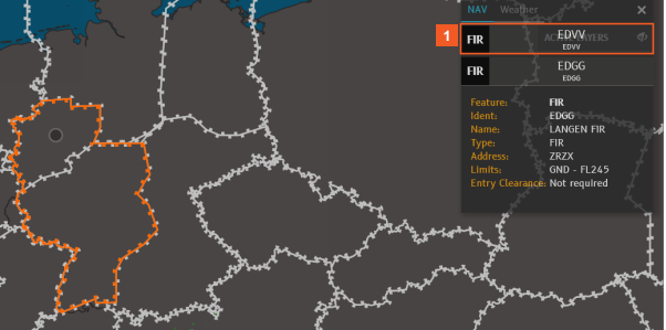
Start by examining a FIR in Germany.
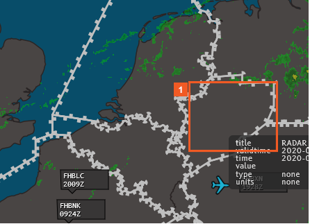
![]() Click the highlighted area.
Click the highlighted area.
When you expand the information displayed for EDGG, the selected FIR is highlighted in orange on the map. This is particularly useful when FIRs overlap, as in this example.
EDGG is a FIR.
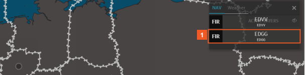
![]() Click the EDGG list item.
Click the EDGG list item.
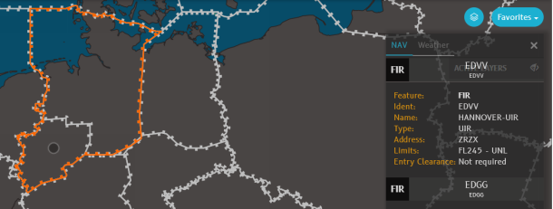
![]() Click the EDVV list item.
Click the EDVV list item.
A different area, north of the previous FIR is outlined in orange. The EDVV area is a UIR.
HINT
Be attentive to your zoom level changes as you zoom out. If you zoom out too far while investigating FIRs/UIRs, the boundaries may disappear due to default zoom levels you have set. You can always zoom back in to display the FIR/UIR or to select a different one.
![]() Click the Zoom out (-) button.
Click the Zoom out (-) button.
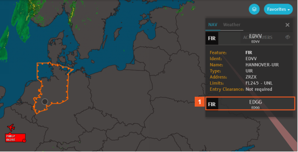
Zoom out to a higher zoom level (200 nm ) to see how the FIR layer behaves differently.
In this example, because of the default zoom levels set for the display of FIR/UIRs, the white, chunky lines showing FIRs do not display.
The last FIR/UIR you examined is still selected and shows with an orange outline.
You can still consult the information in the NAV pane, by clicking any listed FIR.
![]() Click the EDGG list item.
Click the EDGG list item.
Notice that the area outlined on the map continues to show your previous selection.
To change the FIR selected on the map, you must use the zoom level set in your default zoom levels for FIRs/UIRs to be enabled. (In this example, 200 nm.)
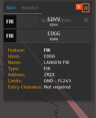
![]() Click the Close button.
Click the Close button.
For this airline, the zoom level at which FIR/UIRs can be enabled or disabled is 100 nm.
Zoom in to that level.
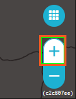
![]() Click the Zoom in (+) button.
Click the Zoom in (+) button.
To remove the FIRs from your display, disable the slider in NAV Layers.
![]() Click the FIR/UIR slider.
Click the FIR/UIR slider.
SUCCESS
Congratulations! You have successfully displayed flight information regions on the map.
For details on using the other navigational elements on the NAV layers, consult the related topics, such as:
-Display Airport Information and Ground Vehicles on the Map
-Depict High- and Low- Level Airways, NAVAIDs, Holding Patterns, and Waypoints
-Display Restricted or Controlled Airspaces and/or Communication Areas